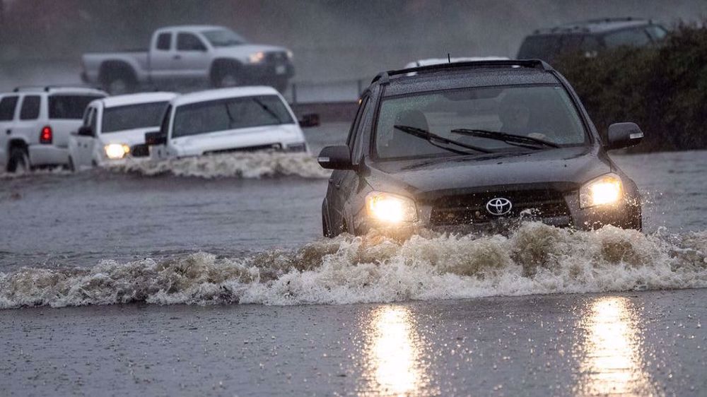
'Bomb cyclone' brings mudslides, power outages to California
A powerful storm drenched wildfire-scarred Northern California on Sunday, triggering mudslides and flooding, while heavy winds toppled utility poles and downed trees in what meteorologists called a "bomb cyclone."
Up to 10 inches (25 cm) of rain were expected to wash over the West Coast, said meteorologist Marc Chenard of the Weather Prediction Center at the National Weather Service.
"It's an atmospheric river already moving through Northern California," he added, describing the storm as a "bomb cyclone," an intense weather event when the barometric pressure drops quickly.
The storm follows the busiest wildfire season in California history and heightens threats of flash flooding. Much of the region is in severe, extreme or exceptional drought, as classified by the U.S. Drought Monitor.
"Burn scars, that's the area where the water tends to run off quicker, so that's where the biggest flash-flood risks are," Chenard said. "Warnings are of life-threatening flash flooding in and around the burn scars."
Multiple mudslides were already reported in some of the 570,000 acres (230,670 hectares) blackened by the Dixie Fire in the Sierra Nevada mountains northeast of San Francisco, the second-largest wildfire recorded in state history, he said.
The area of Central California where the 2020 Creek Fire ripped through was placed under evacuation warning status, the Fresno County Sheriff's Office tweeted.
Emergency services issued flood warnings for areas including Marin County, just north of San Francisco, and portions of the Napa River.
Winds over 50 miles per hour (80 kph) gusted through San Francisco and triggered power outages around Sacramento, where residents tweeted photographs of toppled utility poles smashing cars and blocking roadways. As much as 5 inches (13 cm) of rain was predicted.
Strong winds knocked over an orange truck on the Richmond–San Rafael Bridge in the San Francisco Bay Area, several Twitter users reported.
Sandbags were being handed out and evacuation centers were opened in the state capital, Sacramento. The Sacramento Office of Emergency Service tweeted: "Remember - never drive through standing water! Turn around, don't drown!"
Snow was expected in higher elevations, Chenard said.
"It's a pretty impressive storm system," Chenard said. "It's happening now and it's going to continue into the day tomorrow. It will be gradually shifting southward across Central California tonight and tomorrow."
Source: Reuters

Thousands demonstrate on Presidents’ Day to call Trump 'A Tyrant'

US Federal workers protest Trump workforce cuts

Trump mass deportations met with NY protest
IRGC unveils new homegrown smart missiles, drones drill
Iran launches project to extract, purify helium from natural gas
Qatari Emir arrives in Tehran for deeper cooperation talks
VIDEO | Press TV's news headlines
Israel to release longest-serving Palestinian inmate Nael al-Barghouti
IRGC dismantles multiple US, Israeli spying networks in northern Iran
Two Israeli soldiers flee Amsterdam over arrest warrant fears
Iran rebukes US 'colonial' plan for forced relocation of Gazans


 This makes it easy to access the Press TV website