NASA captures image of Hurricane Harvey from space
Satellite images recently released show Harvey, a slow-moving tropical storm, which has brought catastrophic flooding to Texas and killed at least nine people.
It has also led to mass evacuations and paralyzed Houston, the fourth most-populous US city. Some 30,000 people were expected to seek emergency shelter as the flooding entered its fourth day.
US President Donald Trump was scheduled to arrive in Corpus Christi, near where Harvey came ashore on Friday as the most powerful hurricane to strike Texas in more than 50 years.
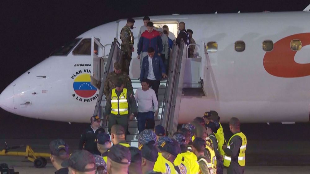
Nearly 200 migrants deported from US, all men, arrive in Venezuela
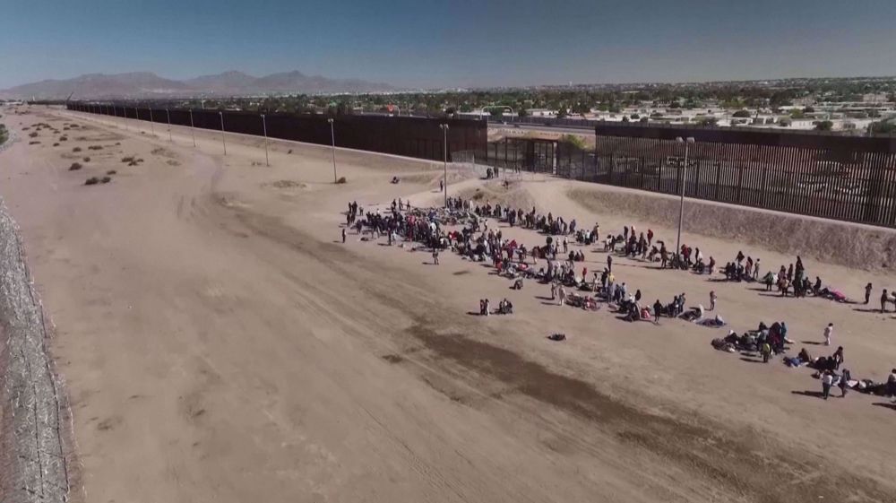
'Un-American,' 'Help people already here'- birthright citizenship debate divides NY
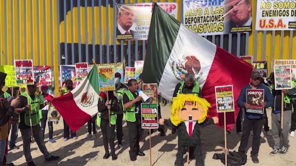
Activists in Mexico rally against incoming Trump's anti-immigration policies


Iranian film ‘In the Shadow of Cypress’ wins Oscar for Best Animated Short
Arab countries slam Israel’s decision to block humanitarian aid into Gaza
Sanders dismisses Republicans’ ‘horrific’ calls for Zelensky to resign
VIDEO | Activists project censored Gaza documentary onto BBC Scotland office
Yemen warns Israel, US: We are watching Gaza; enemies ‘lined up in the crosshairs’
VIDEO | Ramadan in Pakistan: A month of devotion, generosity
VIDEO | Muslims in India begin Ramadan with prayers for peace and solidarity with Palestine
VIDEO | Press TV's news headlines