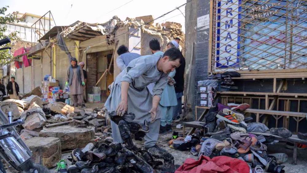
6.2-magnitude quake jolts northern Afghanistan, parts of Pakistan
An earthquake measuring 6.2 on the Richter scale has jolted northeastern Afghanistan and parts of Pakistan.
The seismic activity, which happened at 11:14 p.m. local time (1914 GMT) late on Friday, occurred at the depth of 203 kilometers (126.5 miles) and was centered 82 kilometers (51 miles) southeast of Feyzabad, the capital city of Afghanistan’s Badakhshan province, the USGS reported.
The epicenter of the quake was also measured to be some 280 kilometers (174 miles) northeast of the country’s capital, Kabul.
No report of possible casualties in Afghanistan has been released so far, but according to initial reports from Pakistan nearly 50 people were injured there.
The quake has, reportedly, shaken buildings in the Pakistani capital Islamabad and its tremors were also felt as far as the Indian capital New Delhi.
On October 26, another earthquake, measuring 7.5 on the Richter scale, struck northern Afghanistan near Jarm in Badakhshan. Around 400 people lost their lives and more than 2,200 others sustained injuries in Afghanistan and Pakistan, while some 12,000 houses were destroyed.
Afghanistan is frequently hit by seismic activities, particularly in the Hindu Kush mountain range that stretches between central Afghanistan and northern Pakistan and lies near the junction of the Eurasian and Indian tectonic plates.
VIDEO | 85% of Yemeni displaced people face daily hunger crisis
US House passes bill targeting charities and pro-Palestine groups
VIDEO | Supporting Gaza genocide
Hezbollah attacks Israeli forces after Lebanese homes blown up
World leaders, states hail ICC arrest warrants for Netanyahu, Gallant
MP: US accountable for possible Israeli 'foolishness' to attack Iraq
VIDEO | Israeli policies strangle Palestinian agriculture, economy
Iran's president offers condolences to Pakistan over terrorist attack


 This makes it easy to access the Press TV website